Lisi Topograph
New development in Saburtalo, Tbilisi · Martiani St, Saburtalo, Tbilisi · developer: GREA
 1 / 10
New development in Saburtalo, Tbilisi · Martiani St, Saburtalo, Tbilisi · developer: GREA
1 / 10
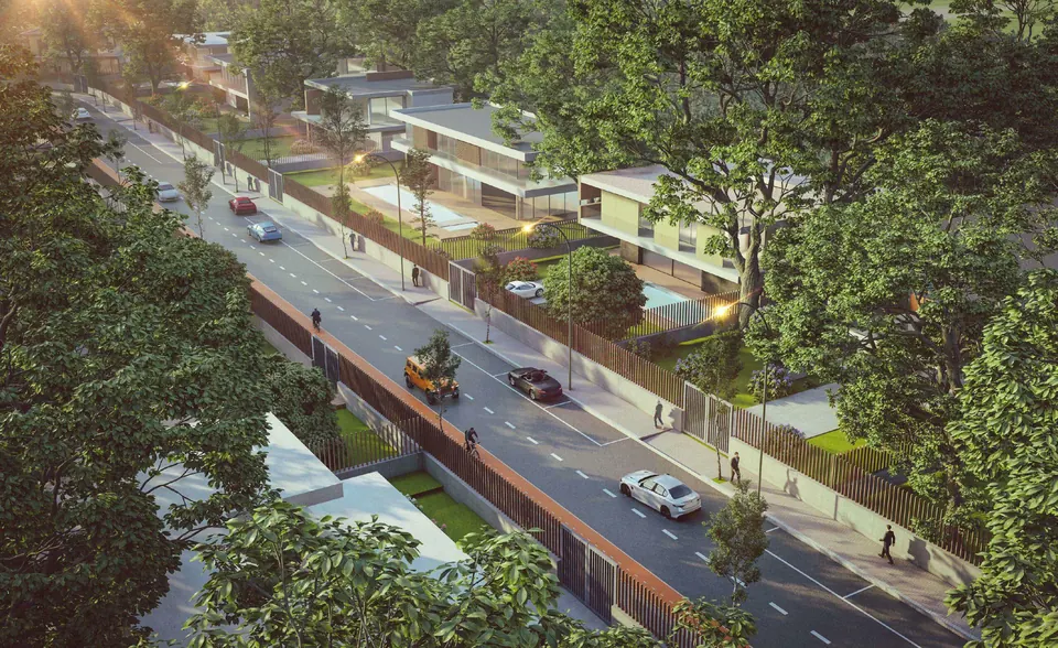
Lisi Topograph is a low-rise village on 41.8 hectares in the Saburtalo district, 350–500 metres from Lisi Lake. The site is divided into 4 sectors and capped at 244 households: plots from 1,000 sqm, houses of 1–2 storeys.
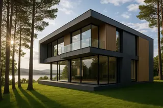
Each villa is designed individually for its plot within a shared architectural concept — sharp geometric facades set into the lake-and-mountain landscape. Homes are handed over as a "black frame" shell, while the site's roads and utilities are already fully built out.
The grounds include 5 landscaped parks with more than 10,000 trees and shrubs planted, 9 sports courts, 5 km of bike paths, and 4 guarded, access-controlled entrances.
Tap a floor plan to open the details.
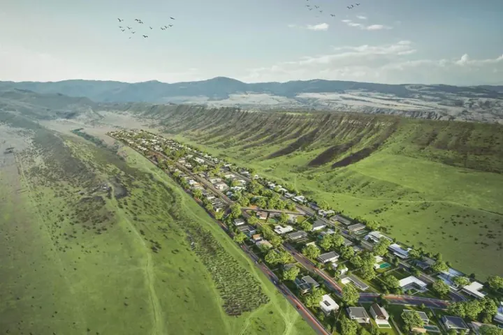 5 landscaped parks (10,000+ plantings)
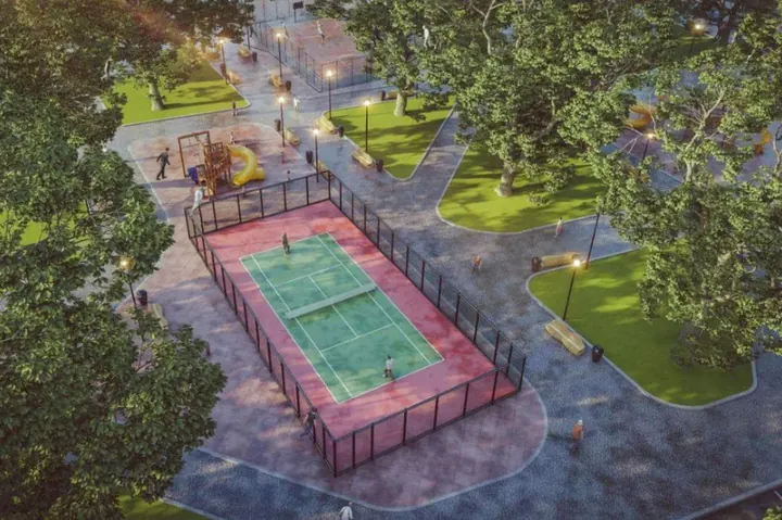 9 sports courts (tennis, football, basketball)
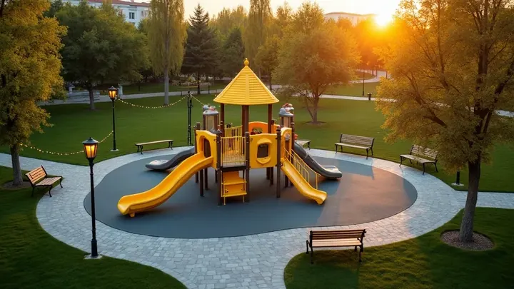 Children's play areas
Martiani St, Saburtalo, Tbilisi
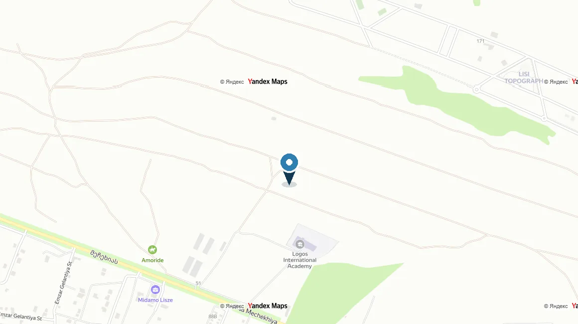
© OpenStreetMap contributors
We'll send the currently available floor plans, prices and instalment terms for this project.
Other projects in Tbilisi
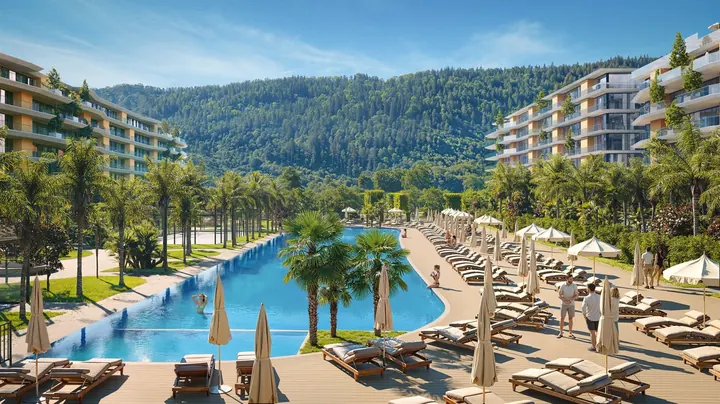
Complex amenities
Enter your name and phone — we'll get back to you with a shortlist.

 WhatsApp
 Telegram